The Paths of Water. E2D Students Present Project Work at the Augsburg GIS Forum for Environmental Monitoring

The UNESCO World Heritage Site
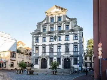
The Augsburg Water Management System has been an official UNESCO World Heritage Site since July 6, 2019. This designation recognizes a globally unique water management system that has evolved continuously over more than 800 years. It spans a network approximately 30 kilometers long and comprises a total of 22 individual technical and architectural sites in the city and the surrounding region.
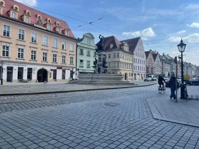
At the heart of the World Heritage Site is the strict separation of drinking water and industrial water, which was introduced as early as 1545, making Augsburg a pioneer in Europe. Among the protected monuments are the historic water towers at the Rotes Tor—the oldest of their kind in Central Europe—as well as the monumental waterworks at the Hochablass. Also included are the three magnificent Renaissance fountains in the city center (the Augustus, Mercury, and Hercules Fountains) as well as a dense network of Lech canals that powered local crafts during the Middle Ages. The system is complemented by pioneering modern hydrotechnical facilities, such as the artificial ice channel built for the 1972 Olympic Games and early hydroelectric power plants for industrial electricity generation.
To this day, this vibrant network combines technical innovation, sustainable resource use, and artistic architecture. For those interested, the central World Heritage Information Center on Rathausplatz offers an ideal starting point to explore the history of Augsburg’s “Water City” through multimedia exhibits.
New Dimensions of Mobility
The City of Augsburg’s “Paths of Water” project was officially selected in December 2025 as a candidate project for the 2034 International Building Exhibition in the Munich Metropolitan Region (IBA-M). The idea thus emerged as one of only 16 successful applications out of approximately 140 submissions. The project ties directly into the existing UNESCO World Heritage Site “Augsburg Water Management System.”

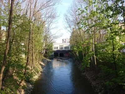
The goal is to make the 22 decentralized World Heritage sites—including historic water towers, magnificent fountains, and canals—more visible, more accessible, and more directly experienceable within the urban landscape. At its core, the project is based on two strategic pillars:
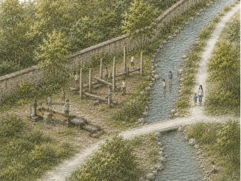
- Intermodal mobility network: New walking and biking paths will connect the scattered sites along the Lech and Wertach rivers as well as the city’s many streams. This will simultaneously enhance the city’s green spaces and waterways.
- Digital visitor guidance: Through innovative information stations and digital offerings, the historical heritage will be presented in a contemporary way, building a bridge from the past to the future of urban water culture.
By being accepted into the qualification phase of the IBA-M, Augsburg gains the opportunity to further develop this forward-looking combination of the mobility transition, open-space design, and historic preservation within the regional context in the coming years.
Augsburg GIS Forum for Environmental Monitoring
The Augsburg GIS Forum for Environmental Monitoring is an annual conference organized by the GIS Round Table e.V. and GI Geoinformatik. In the event rooms of the Swabian Chamber of Industry and Commerce (IHK Schwaben) on Theodor-Heuss-Platz, students were able to present selected project work on the topic of water—the main focus of the first day of the event.


Problem Statement
The students’ projects were developed as part of the environmental planning modules in the E2D program—Energy Efficient Planning and Building (Bachelor’s) and Energy Efficiency Design (Master’s). The assignment stems from a long-term collaboration with the Department of Urban Development, Planning, and Construction and the World Heritage Office of the City of Augsburg. The following requirements applied for the summer semester of 2026:
BSc. E2D Environmental Planning II – Focus on Method Application, e.g.:
- Accessibility analyses of World Heritage sites
- Data-based analyses of urban amenity qualities
- SWOT analyses and participatory planning processes
MSc. EED Environmental Planning – Focus on Concepts:
- Development of user profiles and usage scenarios
- Development of future-oriented mobility and green space concepts
- Integration of digital innovations and smart city applications
The results were presented as interactive web pages using ArcGIS StoryMaps software. Selected projects can be viewed via the links and QR codes in the table below.